Every route, ready to download
Free GPX files for every route featured on Motorcycles & Legends. Featured route first, then the archive, newest to oldest.
Featured
Past routes
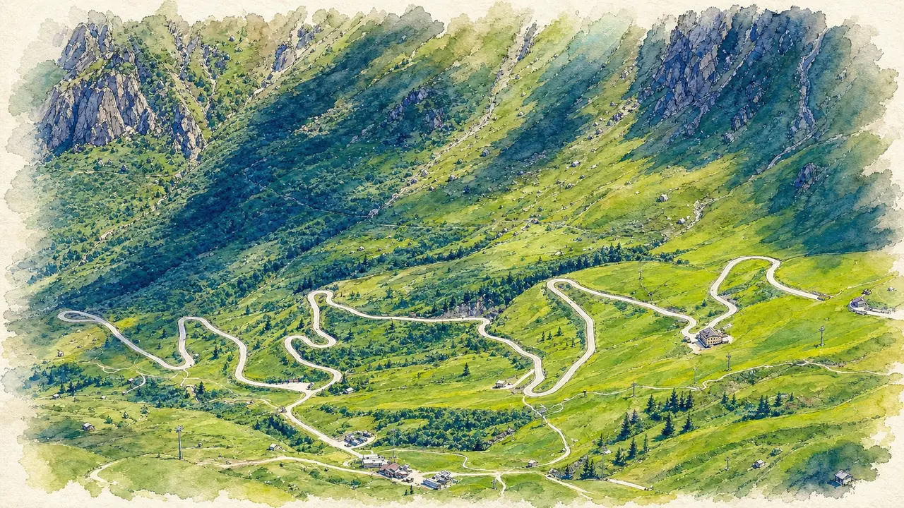
The Grand Dolomites Pass Circuit
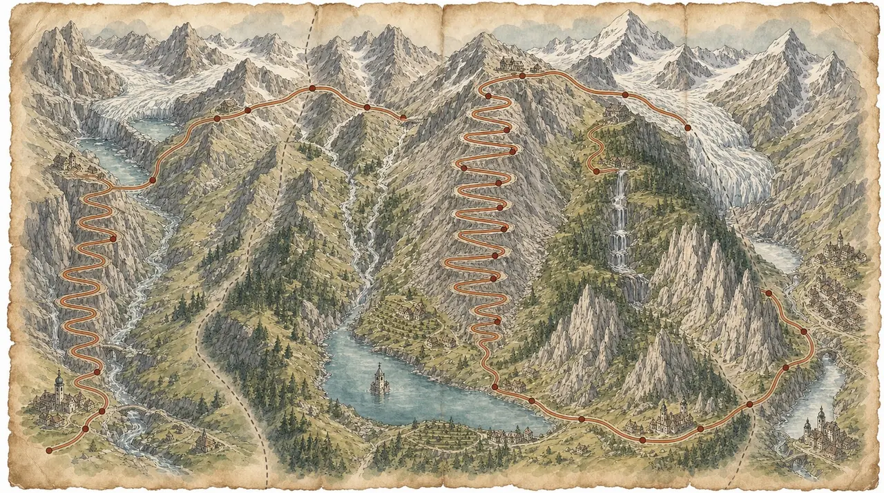
A 300 km motorcycle loop from Bolzano over nine Dolomites passes — Costalunga, Sella, Gardena, Valparola, Falzarego, Giau, Cibiana, Duran and San Pellegrino. Free GPX download.
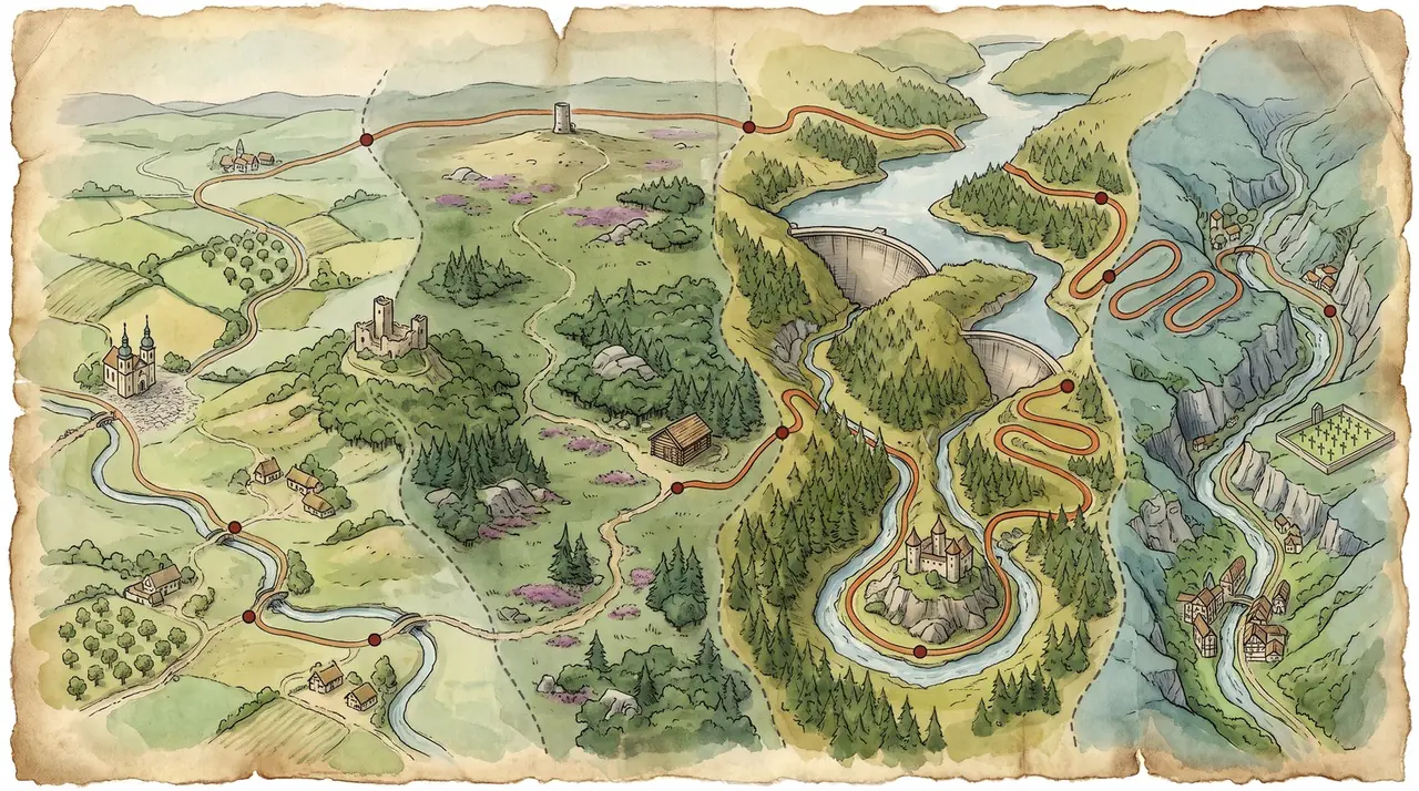
Four Countries in a Day
A 447 km motorcycle day ride from Maastricht through Belgian Limburg, the Eifel dams, a lunch stop in Prüm, the Luxembourg Ardennes and the Hautes Fagnes, finishing in Valkenburg. Free GPX download.
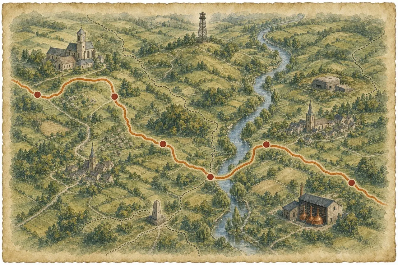
A Round of the Heuvelland
A 128 km motorcycle loop from Valkenburg through the Dutch and Belgian Limburg hills, crossing into Germany at the Drielandenpunt. Free GPX download.
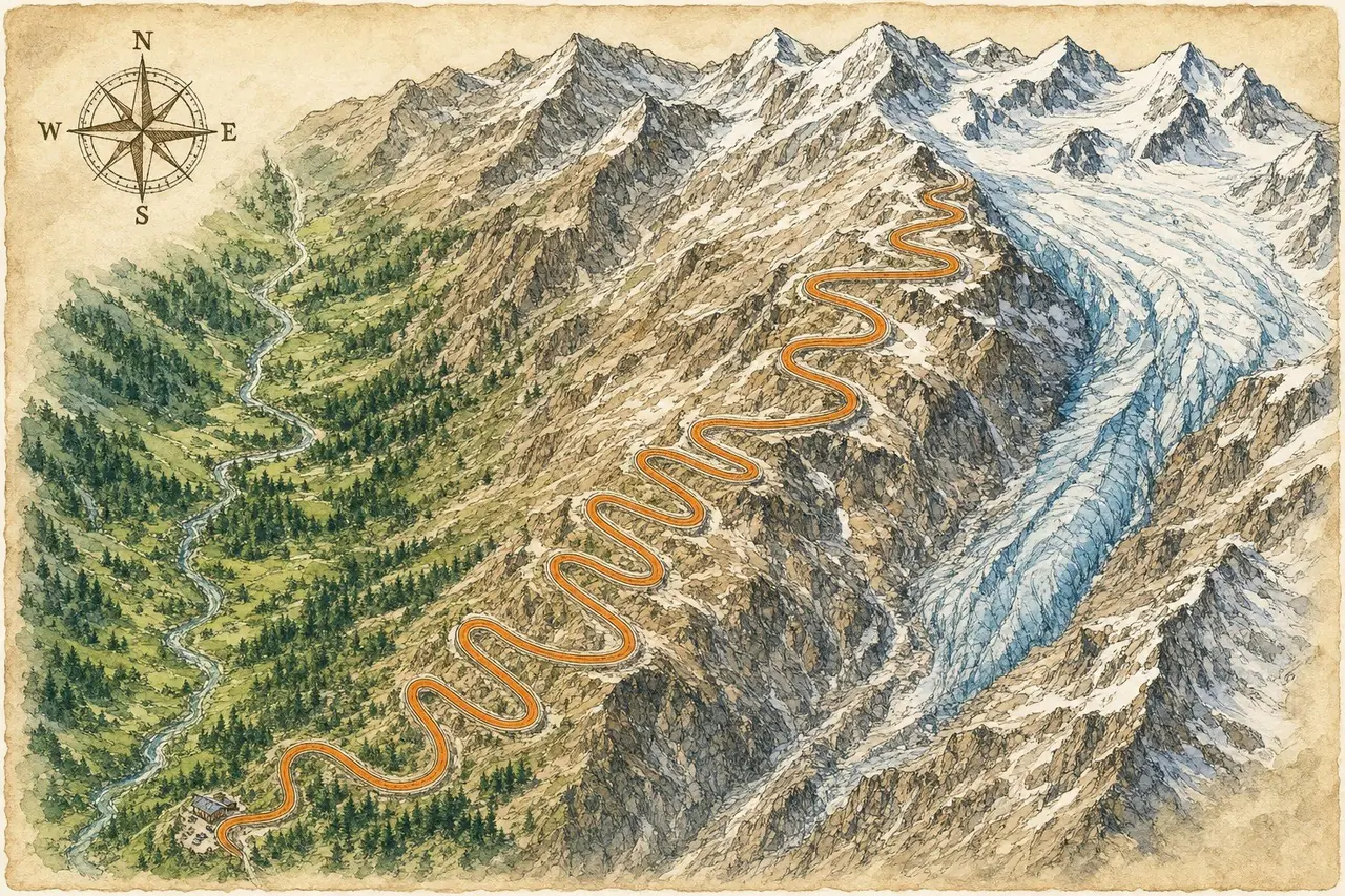
Grossglockner Hochalpenstrasse
The Grossglockner High Alpine Road: 48 km of hairpins up to the Hochtor tunnel and the Edelweißspitze viewpoint, looped back to Mittersill via Heiligenblut and the Felbertauern road. Free GPX download.
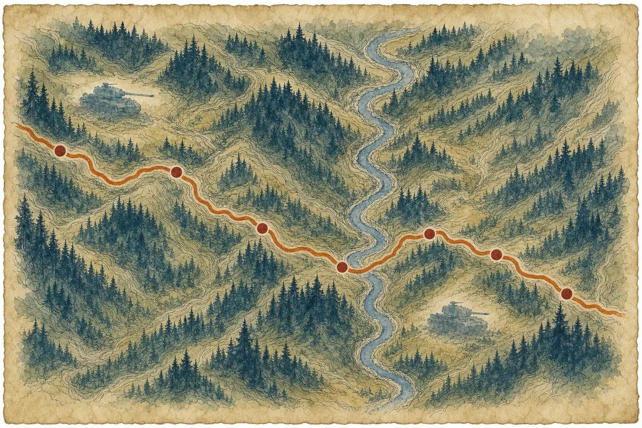
Ardennes Tank Tour
A 314 km motorcycle route through the Belgian Ardennes into Luxembourg, linking seven surviving Battle of the Bulge tanks. Free GPX download.
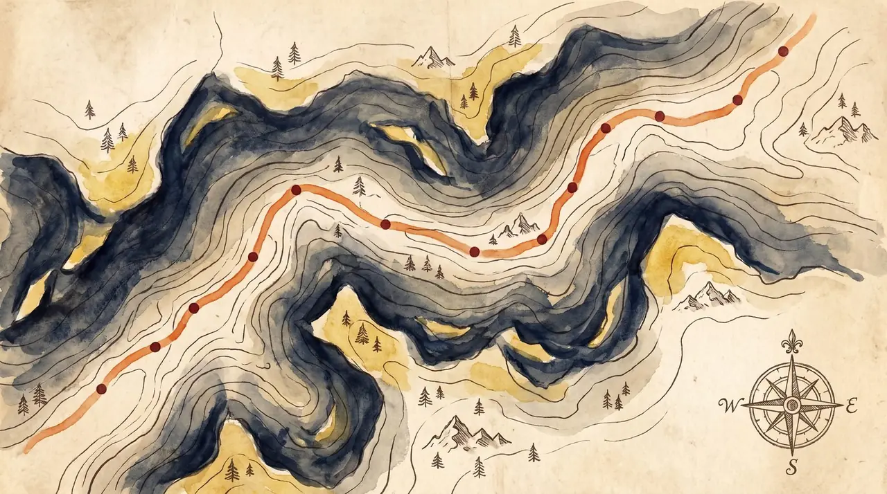
Belgium/Luxembourg Taster
A 262 km motorcycle route from Trois-Ponts in the Belgian Ardennes to Clervaux, Luxembourg — forest switchbacks and quiet river valleys. Free GPX download.
Route-point version for older devices